File:Australia satellite states.jpg
Size of this preview: 800 × 600 pixels. Other resolutions: 320 × 240 pixels | 640 × 480 pixels | 1,024 × 768 pixels.
Original file (1,024 × 768 pixels, file size: 182 KB, MIME type: image/jpeg)
Summary
| Description |
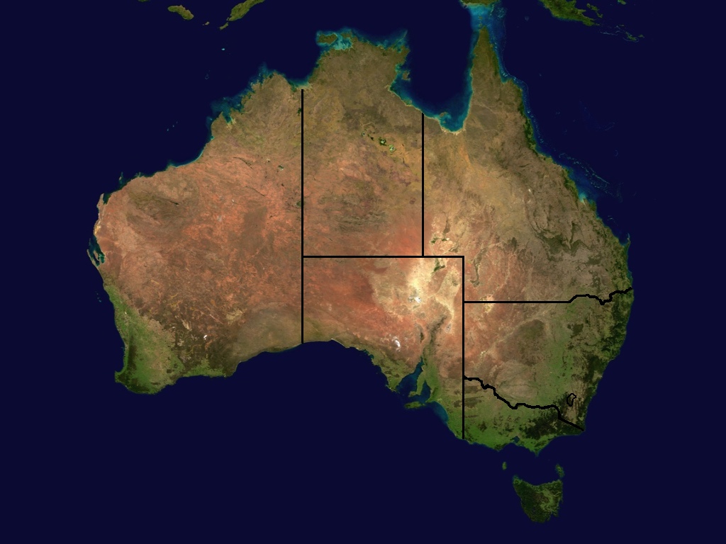
A map of the states and some territories of Australia. A merger of Image:Australia_satellite_plane.jpg and Image:Australia_location_map.png at 1024x768. == Licensing == |
| Date | (UTC) |
| Source | |
| Author |
|
| This is a retouched picture, which means that it has been digitally altered from its original version. Modifications: Merged state boundaries and satellite imagery. The original can be viewed here: Australia location map.png:
|
This file is licensed under the Creative Commons Attribution-Share Alike 3.0 Unported license.
- You are free:
- to share – to copy, distribute and transmit the work
- to remix – to adapt the work
- Under the following conditions:
- attribution – You must give appropriate credit, provide a link to the license, and indicate if changes were made. You may do so in any reasonable manner, but not in any way that suggests the licensor endorses you or your use.
- share alike – If you remix, transform, or build upon the material, you must distribute your contributions under the same or compatible license as the original.
Original upload log
This image is a derivative work of the following images:
- Image:Australia_satellite_plane.jpg licensed with PD-USGov-NASA, PD-USGov-NASA/copyright
- Image:Australia_location_map.png licensed with Cc-by-sa-2.5,2.0,1.0, GFDL
- 2005-10-17T16:51:10Z Diceman 2190x1577 (104422 Bytes) [[Category:Australia]]
Uploaded with derivativeFX
File history
Click on a date/time to view the file as it appeared at that time.
| Date/Time | Thumbnail | Dimensions | User | Comment | |
|---|---|---|---|---|---|
| current | 16:46, 22 June 2008 | | 1,024 × 768 (182 KB) | wikimediacommons>Harpagon~commonswiki | {{Information |Description=A map of the states and some territories of Australia. A merger of Image:Australia_satellite_plane.jpg and Image:Australia_location_map.png at 1024x768. == Licensing == |Source=*Image:Australia_satellite_plane.jpg |
File usage
The following page uses this file: